
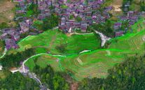
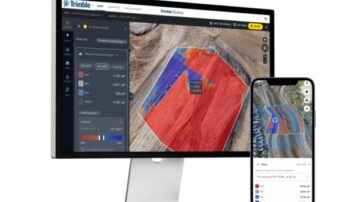
Trimble Stratus
Trimble Stratus is a powerful drone data workflow solution powered by Propeller, designed to help civil contractors and site managers efficiently map, measure, and manage worksites. With intuitive tools and seamless integration, Trimble Stratus …
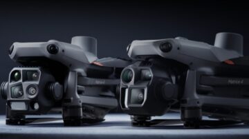
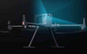
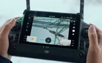
Photogrammetry Drones
Discover SITECH Solutions’ photogrammetry drone offering, featuring the DJI Matrice 4 Series. Capture precise, high-resolution data for aerial surveying, mapping, and volumetric analysis. Ideal for construction, mining, and geospatial professionals …
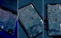
Trimble Stratus
Trimble Stratus is a powerful drone data workflow solution powered by Propeller, designed to help civil contractors and site managers efficiently map, measure, and manage worksites. With intuitive tools and seamless integration, Trimble Stratus …