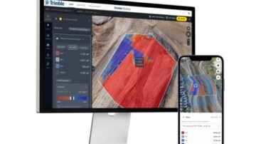
Trimble Stratus
Trimble Stratus is a powerful drone data workflow solution powered by Propeller, designed to help civil contractors and site managers efficiently map, measure, and manage worksites. With intuitive tools and seamless integration, Trimble Stratus …
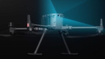
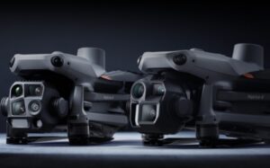
Lidar Drones
SITECH Solutions offers LiDAR drone systems for capturing detailed ground surface data in complex terrain. Paired with high-precision sensors, our drone solutions are ideal for construction, mining, and environmental projects requiring accurate …
Trimble Stratus
Trimble Stratus is a powerful drone data workflow solution powered by Propeller, designed to help civil contractors and site managers efficiently map, measure, and manage worksites. With intuitive tools and seamless integration, Trimble Stratus …